Rivers of Sikkim – A Tourist's Guide to the Teesta, Rangit & Beyond
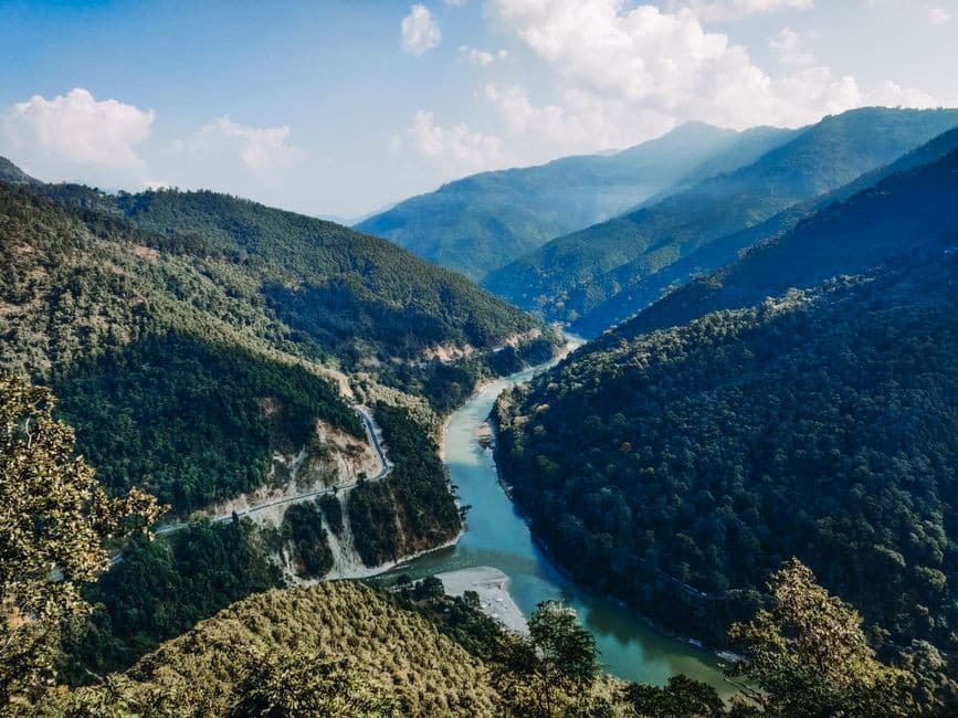
Sikkim's rivers are far more than blue lines on a map. They are the pulse of this tiny Himalayan state — carving gorges beneath rhododendron-clad ridges, feeding monasteries perched on cliffs, and offering some of India's finest whitewater rafting. Whether you're chasing adrenaline on Grade IV rapids or simply want to sip tea beside turquoise water on the drive from Siliguri to Gangtok, understanding Sikkim's rivers will transform your trip from good to unforgettable.
The Teesta – Sikkim's Sacred Lifeline
No river defines a state quite like the Teesta defines Sikkim. Originating from Tso Lhamo Lake — one of the highest lakes in the world, sitting at roughly 5,330 m near the Indo-China border — the Teesta descends through steep gorges, alpine meadows, and subtropical forests before flowing into West Bengal and eventually merging with the Brahmaputra in Bangladesh.
The name Teesta traces back to the Sanskrit word Trisrota, meaning "three streams," a nod to the multiple glacial tributaries that feed its upper course. For the indigenous Lepcha people, the river is known as Rongnyu and is considered a living spirit. In their beloved folklore, Rongnyu and her lover Rangeet were river spirits created by the Mother Creator, Itbu-moo, who raced from the Himalayas to the plains — their eventual meeting point, the sacred confluence at Triveni, remains a revered site to this day.
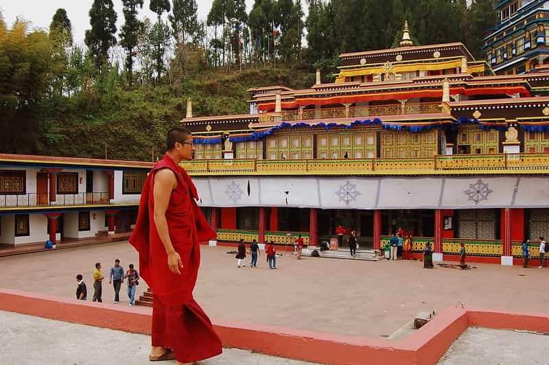
As Buddhism took root in Sikkim, rivers came to be seen as sacred pathways linking the material and spiritual worlds, and monasteries were often built near their banks. Modern Sikkimese society still honours the Teesta through festivals like Maghe Sankranti.
Experiencing the Teesta as a Tourist
- The NH-10 riverside drive: The main highway from Siliguri/NJP to Gangtok (roughly 120 km) follows the Teesta for much of its route, offering jaw-dropping views of turquoise water against forested slopes. Budget extra time for photo stops — every bend reveals a new canvas.
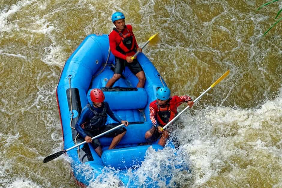
- Whitewater rafting at Melli: The most popular launch point sits about 50 km from both Gangtok and Siliguri. You can choose a 5 km run (roughly 1.5 hours, Grade II–III) or a 7 km stretch to Kalijhora (about 3 hours, Grade II–IV). Rafting typically operates between 9 AM and 2–3 PM, and operators supply life jackets, helmets, and an experienced guide.
- Camping on white-sand beaches: Several operators combine rafting with overnight riverside camping — think bonfires, birdsong, and terraced hills fading into starlight.
- Kayaking: Available for experienced paddlers through Sikkim Tourism; a quieter, more technical way to read the river.
Best Time for Teesta Rafting
The sweet spots are March to May (post-winter snowmelt fills the river without the monsoon fury) and October to December (crisp skies, moderate flow). The monsoon months (June–September) bring dangerously high water levels, landslide risks, and most operators suspend services.
Insider tip: River water is glacier-fed and cold year-round. Wear a thermal inner layer beneath your splash gear, and leave valuables — phones, wallets, jewellery — in your vehicle.
The Rangit – Teesta's Wilder Cousin
While the Teesta gets the fame, seasoned rafters often whisper that the Rangeet River delivers the bigger thrills. This major tributary of the Teesta originates from a glacier on Mount Kabru in the lower Khangchendzonga region and flows through some of West Sikkim's most enchanting valleys before meeting the Teesta near Teesta Bazaar at Triveni.
The Rangit's rapids range from Grade II to Grade IV, with certain stretches offering more turbulent water than the Teesta itself. The main rafting route — Sikip → Jorethang → Majitar → Melli — winds past terraced farmlands, small tribal hamlets, and dense forests, giving rafters a panoramic cultural experience alongside the adrenaline.
Rangit Highlights for Visitors
- Rafting from Jorethang or Legship: Both towns on the Rangit are well-regarded launch points. Beginners can stick to Grade II sections, while experts can tackle Grade IV stretches that challenge even veteran paddlers.
- Rangit Water World (Legship): A recreational park built around the Rangit Dam reservoir, about 26 km from Ravangla. Activities include boating, angling, and swimming, and it's an excellent family-friendly stop on the Gangtok–Pelling highway.
- Kirateshwar Mahadev Temple: Accessible via a foot suspension bridge across the Rangit near Legship, this riverside temple adds a spiritual dimension to the adventure.
- Hot springs near Legship: Sulphurous springs famous for their medicinal properties sit close to the river, perfect for soothing muscles after a day on the water.
Triveni – Where Two Lovers Meet
The confluence of the Teesta and Rangit, known as Triveni, is one of Sikkim's most visually and spiritually striking spots. You can actually see the different shades of the two rivers — one often greener, the other bluer — swirling together. In Lepcha lore, this is where the two river spirits, separated by a race through the mountains, finally reunited in an eternal embrace.
Triveni is located near Teesta Bazaar, close to where the roads from Kalimpong and Darjeeling converge. It's easily accessible on the drive between Siliguri and Gangtok, making it a natural stop for photographs, quiet reflection, or even a short rafting session.
Beyond Teesta and Rangit – Rivers Worth Knowing
Sikkim's river network extends well beyond its two stars:
- Lachen Chu and Lachung Chu: These upper tributaries of the Teesta flow through North Sikkim's most dramatic valleys. The Lachen Chu passes through the village of Lachen — the gateway to Gurudongmar Lake — while the Lachung Chu leads to the famed Yumthang Valley of Flowers. The two rivers merge at Chungthang, a small town that serves as the nerve centre for North Sikkim circuits.
- Rangpo Chu: Joining the Teesta at Rangpo — the entry checkpoint into Sikkim from West Bengal — this river marks the administrative boundary and is the first Sikkimese waterway most road travellers encounter.
- Dik Chu: A quieter right-bank tributary of the Teesta, flowing through East Sikkim's forested interior.
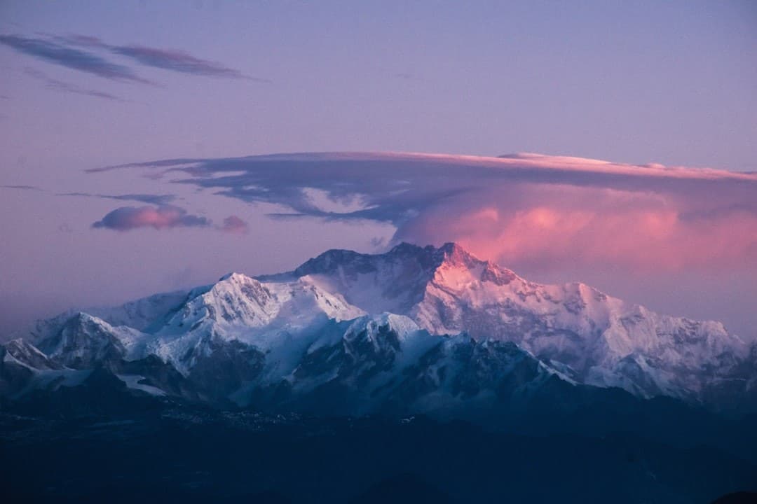
Each of these waterways contributes to the extraordinary vertical eco-gradient that makes Khangchendzonga National Park a UNESCO Mixed World Heritage Site — from subtropical riverine forests at 1,220 m all the way to glacial ice at 8,586 m.
Practical Tips for River Lovers in Sikkim
- Permits matter: Many river valleys in North and East Sikkim fall within restricted or protected zones. Indian nationals need Inner Line Permits for North Sikkim circuits; foreigners require a Protected/Restricted Area Permit and face additional access limitations. Always arrange permits 24–48 hours in advance through a registered tour operator.
- Monsoon caution: The Teesta basin is flood-prone during the monsoon. NH-10 is particularly susceptible to landslide-related closures between June and September. Build buffer days into your itinerary.
- Respect the rivers: Sikkim is India's first fully organic state and takes environmental stewardship seriously. Carry out all waste, avoid single-use plastic, and never disturb riverbank ecosystems.
- Combine experiences: A rafting session pairs beautifully with a visit to Temi Tea Garden (Sikkim's only tea estate) or the Buddha Park at Ravangla — both are within easy reach of the Teesta and Rangit corridors.
- What to pack for rafting: Quick-dry clothing, thermal inner layer, secure footwear (no flip-flops), high-SPF sunscreen, and a waterproof bag for essentials. Operators provide helmets, life jackets, and oars.
When to Visit Sikkim's Rivers
| Season | River Conditions | Best For |
|---|---|---|
| March–May | Snowmelt fills rivers; moderate-to-strong flow | Rafting, riverside camping, photography |
| June–September | Very high water; landslide risk | Avoid for rafting; lush scenery for drives on clear days |
| October–November | Post-monsoon clarity; steady flow | Rafting, trekking, confluence visits |
| December–February | Low water; upper reaches frozen | Scenic drives; limited rafting at lower stretches |
Final Thoughts
Sikkim's rivers are threads that stitch together everything that makes this state extraordinary — the sacred and the adventurous, the geological and the cultural, the thundering rapid and the still, glassy pool. Whether you're watching the Teesta glint from a roadside chai stall on NH-10, battling Grade IV rapids on the Rangit, or standing in silent wonder at Triveni where two ancient lovers merge, these rivers will leave a mark on you that no photograph can fully capture.
Plan your Sikkim river adventure during the best time to visit Sikkim, book your permits early, and let the waters guide you into the heart of the Himalayas.
Leave a Comment
Explore Sikkim
Ready to plan your trip? Check out our complete travel guide and packages.